Browse Listings
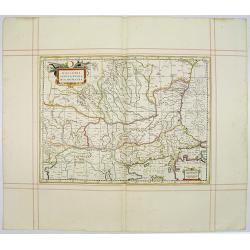
Walachia Servia, Bulgaria, Romania.
The cartographer of this map was Gerard Mercator. This attractive map of the Eastern Balkans is centered on Bulgaria and includes the Bosphorus and Constantinople. The Da...
Place & Date: Oxford, 1680
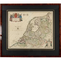
Foederatae Belgicae Tabulae.
Fine, detailed map of the area of the modern Netherlands less the southern part of Limburg, of which the small area around the town of Maastricht is shown in the inset bo...
Place & Date: Amsterdam, 1680
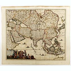
Accuratissima totius Asiae tabula..
The map includes a detailed depiction of South East Asia and the Far East. The northern tip of Australia (Hollandia Nova) is shown as are the important discoveries made t...
Place & Date: Amsterdam, 1680
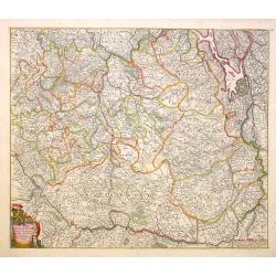
Tabula Ducatus Brabantiae.
Detailed map orientated west to the top.
Place & Date: Amsterdam, 1680
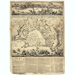
Ignographia candiae tertia a turcis obsessae in lucem edita a F. de Wit.
A scarce broadsheet plan and view of Heraklion on one sheet: prospect 180 x 495mm, map 395 x 495mm., in the lower part a printed description "Abbildung der starken S...
Place & Date: Amsterdam, 1680
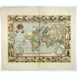
Nova Totius Terrarum Orbis Geographica ac Hydrographica Tabula.
A beautifully decorative world map taken from the 'English Atlas' by Moses Pitt and Steven Swart, based on an earlier engraved world map by Pieter van den Keere ca. 1630,...
Place & Date: Oxford, 1680
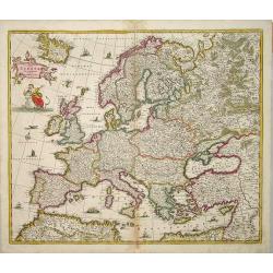
Nova et Accurata totius EUROPAE Descriptio Authore Frederico de Wit Amstelodami.
General map of Europe richly ornamented with small compass rose and Europa shown riding Zeus in the form of a bull, and several putti holding the title banner aloft.
Place & Date: Amsterdam, 1680
Veue de la Ville, et du Port de Calais, di côte de la terre.
Showing the town of Calais; landscape with, in the left foreground, group of cavalrymen led by an officer and going to right, at right two soldiers walking alongside a ca...
Place & Date: Paris, ca. 1680
Hern Johann Baptisten Taveniers..Vierzig Jaehrige Reize..
This German edition includes Tavernier's map of Japan in a reduced form (210x315mm) and contains legends about the country's nature, e.g., where gold is mined and plottin...
Place & Date: Nuremberg, 1681
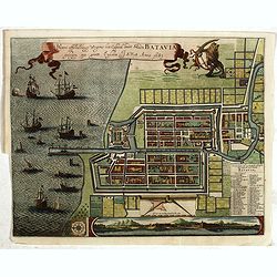
Waere affbeeldinge wegens het casteel ende stadt Batavia.
A good impression of this finely engraved and detailed plan of Batavia, present-day Jakarta, the Dutch center of trading activities in the East Indies. Copied after Cleme...
Place & Date: Amsterdam, 1681
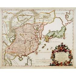
Il regno della China detto presentente Catay e Magnin. . .
A rare and decorative Italian map of China and Japan, with Japan closely modelled on the indented Cardim outline and Hokkaido, called Yuppi , shown as an Asian peninsula....
Place & Date: Rome, 1682
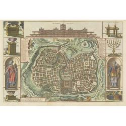
Jerusalem.
Engraved by Bastiaan Stoopendaal from Juan Bautista Villapando's imaginary town-plan of Jerusalem. This bird's-eye view is surrounded by 12 scenes, views and portraits of...
Place & Date: Amsterdam, 1682
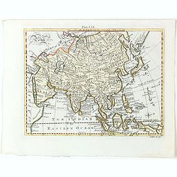
Asia.
Detailed map the Asian continent. The map is of interest for the use of Sea of Corea, the sea between Korea and Japan.
Place & Date: Amsterdam, 1682
Selling price: ????
Please login to see price!
Sold in 2023
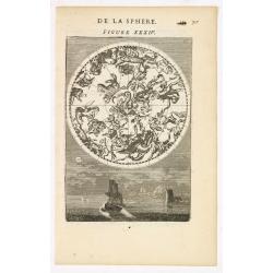
DE LA SPHERE. Figure XXXIV.
A fine celestial map depicting the northern constellations in allegorical form. Fully engraved, it presents 2 sailing ships and a harbour on the background.From the Frenc...
Place & Date: Paris, 1683
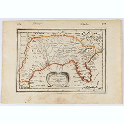
La Floride. . .
The map is derived from La Floride , 1657, by Nicolas Sanson. Several new rivers appear in Virginia. The Caroline listed is Ft. Caroline, not the Carolinas. The Florida n...
Place & Date: Paris, 1683
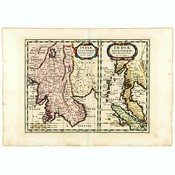
Indiae extra Gangem Pars Septentrionalis. Indiae extra Gangem Pars Meridionalis.
The map on the left depicts the northern portion of the India Ganges region, representing Burma (Myanmar), Thailand, Cambodia, Vietnam and Laos. The right one depicts th...
Place & Date: Utrecht / Amsterdam, J.Halma, 1683
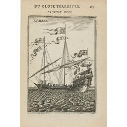
GALERE
Miniature view of a galley. From the French text edition of Description d'Univers.. (5 volumes), 1683. By Allain Manneson Mallet (1630-1706), a well travelled military en...
Place & Date: Paris, 1683
(Des Galeres - Shipping scene)
Miniature view of a vessel, showing the various types of sails. With key list in upper left corner.From the French text edition of Description d'Univers.. (5 volumes), 16...
Place & Date: Paris, 1683
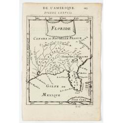
Floride.
A charming map of Florida, also showing Cuba, Golf of Mexico & St Augustine.Title in curtain draped at top. French text on verso.From the original 1683 text edition o...
Place & Date: Paris, 1683
(Shipping)
Finely etched depiction of a vessel, with a lettered key. With explanatory text on verso.From the French text edition of Description d'Univers.. (5 volumes), 1683. By All...
Place & Date: Paris, 1683
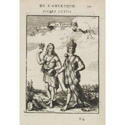
P.les de Virginie.
Attractive copper engraving, depicting a couple of native people of Florida.From the French text edition of Description d'Univers, 1683. by Allain Manneson Mallet (1630-1...
Place & Date: Paris, 1683
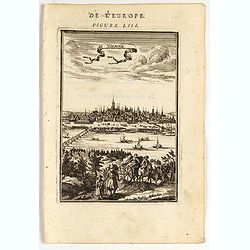
Vienne.
Charming view of Vienna. Title in curtain draped at top. French text on verso.From the original 1683 text edition of "Description d'Univers. . ." by Allain Man...
Place & Date: Paris, 1683
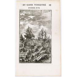
(Ships on full sea)
A fine engraving of different sailing vessels at full sea.From the French text edition of Description d'Univers.. (5 volumes), 1683. By Allain Manneson Mallet (1630-1706)...
Place & Date: Paris, 1683
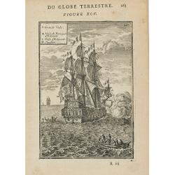
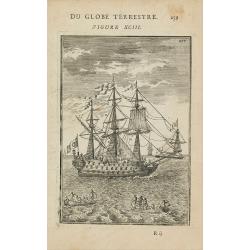
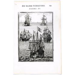
DU GLOBE TERRESTRE - Figure XC. 253
Finely engraved plate of various types of sailing ships.From the French text edition of Description d'Univers.. (5 volumes), 1683. By Allain Manneson Mallet (1630-1706), ...
Place & Date: Paris, 1683
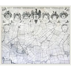
Het Hooge Heemraedtschap van Schielandt.
This beautiful wall map of "Het Hooge Heemraedtschap van Schielandt" is on nine attached leaves (each leaf 49x58,5 cm. ) engraved by J. VINGBOOMS after J.J. STA...
Place & Date: Rotterdam, A. van Hoorn, 1684
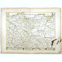
Le Cours de l'Elbe et de l'Oder où sont les Electorats de Saxe et de Brandebourg, les Duchés de Mekelbourg et de Pomeranie. . .
A detailed and scarce map showing the rivers Elbe and Oder in Germany and Poland. Dark engraving.This is one sheet of the four sheet wall map by Pierre Du Val entitled: &...
Place & Date: Paris, 1684
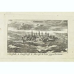
Canischa. (Nagykanizsa / Kanizsa)
Panoramic view of Nagykanizsa / Kanizsa. Published in "Der Donau-Strand Mit allen seinen Ein- und Zuflüssen. . .". Published by Jacob Sandrart.
Place & Date: Nuremberg, Jacob Sandrart, 1684
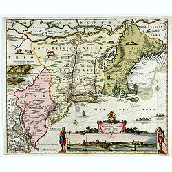
Novi Belgii novae que Angliae nec non partis Virginiae..
The third state with Fort Kassimier and Philadelphia and nearby placenames added. To the south the Dutch colony of Nieu Amstel. New nomenclature and a key appear around t...
Place & Date: Amsterdam, 1684
[2 maps] Nieuwe Hemels Spiegel waer door den hemel, aerde en zee dadelik kan afgemeten werden. Noyt gesien en dat op alles Polus ...
A set of two copper engravings made by Andreas van Luchtenburg in Rotterdam, published separately by Cornelis Danckerts. Nieuwe Hemels Spiegel waer door den hemel, aerd...
Place & Date: Rotterdam, Amsterdam, ca. 1684
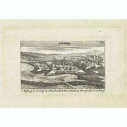
Sigeth.
Panoramic view of Sigeth. Published in "Der Donau-Strand Mit allen seinen Ein- und Zuflüssen. . .". Published by Jacob Sandrart.
Place & Date: Nuremberg, Jacob Sandrart, 1684
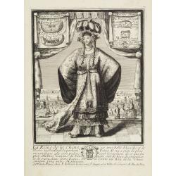
La Reine de la chine.
Very rare and decorative costume plate. In the background : Palais Royal Peking. Beneath the plate a descriptive text about the Queen of China.Bears the address : Se vend...
Place & Date: Paris, ca. 1685
Amerique Septentrionale divisée en ses principales parties. . .1685. [California as an Island]
Engraved by Cordier. Spectacular example of Jaillot's map of North America, showing California as an Island, based upon Sanson's landmark map of 1656. This map shows the ...
Place & Date: Paris, 1685
Lyste vande prysen der goederen ingekoft by de Kamer. . .
Rare price list of meat, bacon, wheat, rye, butter, cheese, olive oil, Spanish wines, Bordeaux, brandy etc.On front page in letter press Lyste Van de Pryfen der Goederen,...
Place & Date: Amsterdam, 1685
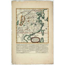
Paradigma XV Provinciarum et CLV Urbium Capitalium Sinensis Imperij Cum Templis quae Cruce X Signatur Et Domiciliis S.I.
First edition of this rare Jesuit map of China, published by Jean Baptiste Nolin in Paris and based on Philippe Couplet's map of 1686. The map shows China's 15 provinces ...
Place & Date: Paris, 1686
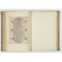
A unique composite atlas with updated Porro maps.
Unique composite atlas containing in total 84 maps - 82 maps engraved by Girolamo Porro and heavenly reworked around 1686 and 2 newly engraved maps; Piccola Tartaria (Cr...
Place & Date: Venice, 1686
Le Grand Mongol. . .
Rare full portrait of the Mongol emperor of Indostan, published by map seller, François Jollain, the Elder (1641-1704), active in Paris, rue St. Jacques à la ville de C...
Place & Date: Paris, ca. 1686
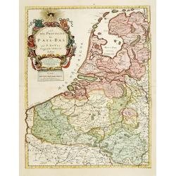
Les Provinces des Pays Bas.
RARE. From his first edition of his only folio atlas, the map is relied upon the map of his uncle, Nicolas Sanson. Engraved by I.Somer.A nice map of Netherlands.
Place & Date: Paris 1687
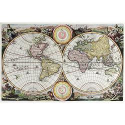
Werelt Caert.
Beautiful double hemisphere from a Dutch Bible. Surrounded by allegorical representations of the continents, based on Visscher. CALIFORNIA IS AN ISLAND with a flat northe...
Place & Date: Amsterdam, 1688
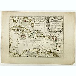
Archipelague du Mexique ou sont les Isles de Cuba..
Scarce map of Caribbean. A visually stunning map with a large title cartouche. This large one-sheet map was produced by the Venetian cosmographer Vincenzo Coronelli when ...
Place & Date: Paris, 1688
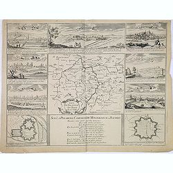
Carte du Palatinat du Rhin.
Decorative "carte à figures"- map centered on Koblenz, Metz, Strasburg, Manheim and Heidelberg, with the river Rhine by François Jollain (ca. 1641 – 18 Apri...
Place & Date: Paris, ca. 1688
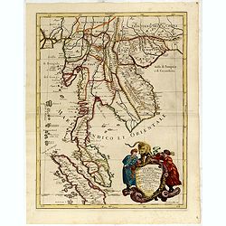
Penisola Dell India di la dal Gange Diusa ne i Regni, che in essasi contengono et accresciuta di varie notizie. Da Giacomo Cantelli da Vignola e conforme le Relationi di alcuni Padri della Compa di Giesu di Monsu Tavernier . . . 1683
Giacomo Rossi's fine late 17th century map of Malaysia, Thailand, Cambodia and part of Sumatra.. Engraved by Franciscus Donia. Issued in Il Mercurio geografico In lower r...
Place & Date: Rome, 1683-1688
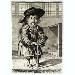
Abbild des sehr kleinen Männleins auß der Schweitz Hans Worrenberg genant, ist lang zwei Fuß und sieben zoll, alt 36 Jahr wie zu Hamburg Anno 1687 im Majo und Junio gesehen worden.
Engraving showing Hans Worrenberg, a dwarf of Switzerland at an age of 36 in the year of 1687. Worrenberg was actor and active in Hamburg 1687 and London 1688. The engrav...
Place & Date: Hamburg, ca.1689
[Title page] Le Nouveau & Grand Illuminant Flambeau de la Mer. La troisième partie. …Par Nicolas Jans Vooght.
Allegoric frontispiece of the third edition of the "Zee-Fakkel" with French text. The "4" from the date 16"89" is in manuscript.
Place & Date: Amsterdam, 1689
Loandas St.Paulo [Luanda]
Engraved by Thomas Doesburgh (active between 1683 and 1714) for Carolus Allard's Orbis habitabilis oppida et vestitus, the print shows a distant view of the Angolese ci...
Place & Date: Amsterdam, c. 1685-1690
Citta, porto, e rada di Brest, e . . . Nella Bretagna . . .
A beautiful and rare map of Bretagne. In top right an inset with the town of Brest.The remarkable Vincenzo Coronelli (1650-1718), encyclopaedist, geographer, inventor and...
Place & Date: Venice, 1690
Isola d'Oleron, nella piaggie occidentali della Francia.
A beautiful and rare map showing île d'Oleron.The remarkable Vincenzo Coronelli (1650-1718), encyclopaedist, geographer, inventor and Doctor of Theology, was citizen of ...
Place & Date: Venice, 1690
Isola di Madagascar o di S. Lorenzo Scoperta dà Portoghesi nell anno 1506. . .
Decorative and highly detailed map of Madagascar, including 2 decorative cartouches and other embellishments.The remarkable Vincenzo Coronelli (1650-1718), was a Francisc...
Place & Date: Venice, 1690
Very fine brass astronomical equinoctial ring with two brass circles.
Very fine brass astronomical equinoctial ring with two brass circles with engraved foliage decoration, signed "Jean-Baptiste-Nicolas Delure A Paris", on the han...
Place & Date: Paris, undated, ca. 1690
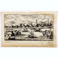
Mocha, in Arabien. (View of Mocha, Yemen.)
Magnificent bird's eye-town-view of Mocha in Yemen.. Etched by Gaspar Bouttats (1640-1695).The Antwerp based publisher Jacques Peeters published ca. 1690 a series of prin...
Place & Date: Antwerp, c.1690
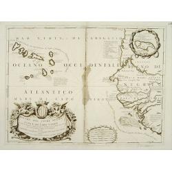
Bocche del Fiume Negro et Isole di Capo Verde.
Double-page engraved map of the Cape Verde Islands and part of the coast of Senegal, with large decorative cartouche. One with inset of the island Goree. During three cen...
Place & Date: Venice, 1690
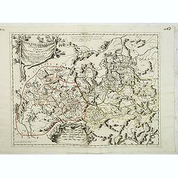
Iunan, Queichev, e Quangsi Provincie della Cina. . .
A beautiful map depicting the area of Beijing with decorative title cartouche and scale cartouche. Information about the area at the top of the map.The remarkable Vincenz...
Place & Date: Venice, 1690
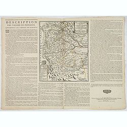
Les vallées du Piemont. Habitees par les Vaudois ou Berbets. . .
Detailed map of Piedmont region covering French and Italian territories. Surrounded by a French text description "Description des vallées du Piemont qu'habitent par...
Place & Date: Paris, 1690
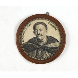
Ioannes III. Rex. Poloniae (Portrait of Johann III. Sobieski)
On verso a text in brown ink "1674 Giovanni Sobieski Gran Maresciallo della Polonia, che poscia lo fece suo Re, perchè a Cokrim vinse li Turchi, e la liberò dai tr...
Place & Date: Ulm, ca. 1690
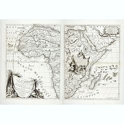
L'Africa divisa nelle sue Parti secondo le pui moderne . . .
A beautiful and rare two-sheet map of Africa. The title cartouche is depicted on a drape surrounded by native animals.A most noticeable feature of the decoration on the m...
Place & Date: Venice, 1690
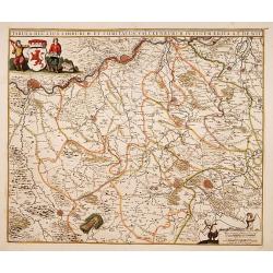
Tabula ducatus Limburch et comitatus Valckenburch. . .
The map describes the southern part of Limburg and reaches into Belgium (Liege, Verviers) and Germany. With two very decorative cartouches.
Place & Date: Amsterdam, 1690
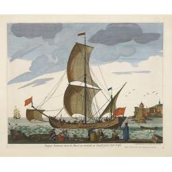
Saique batiment dont les turcs se servent. . .
A very decorative engraving of a Turkish vessel. From Mortier's famous maritime Atlas "Neptune François". Engraved by Jan van Vianen after a design by Henri Sb...
Place & Date: Amsterdam, 1690
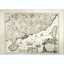
Quantung, e Fokien, Provincie della China...
A beautifully engraved decorative map of Southern China extending from Hainan in the West to Formosa in the East and centered on the Pearl River Delta with Macao and the ...
Place & Date: Venice, 1691
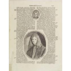
Illustriss et excellentiss D.Paulus Quirini divi Marci procurator.
Fine text page from Isolario Dell'Atlante Vento. with two copper engraved portraits printed within letter press. In top portrait of "Hieronymus Quirinus" (60x55...
Place & Date: Venice, 1691
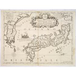
Isola del Giapone e penisola di Corea.
A most attractive and decorative map by Vincenzo Coronelli. An elaborate central title cartouche garlanded with intertwined flowers and dedicated to the Rev.de Fontaine o...
Place & Date: Venice, 1692
Amerique Septentrionale divisée en ses principales parties. . .1692. [California as an Island]
A very good impression of Jaillot's large map of North America, showing California as an Island, based upon Sanson's landmark map of 1656. A first state.The map shows the...
Place & Date: Amsterdam, c.1692
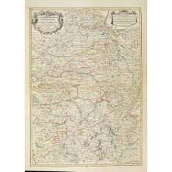
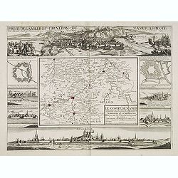
Le comte de Namur et partie des Duchez de Brabant. . .
Decorative map centered on Namen and including the towns of Liege, Leuven, Charleroi, Dinant, Luxemburg, etc. by François Jollain (ca. 1641 – 18 April 1704).Rare "...
Place & Date: Paris, c. 1692
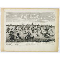
Amsterdam Ville du comté de Hollande. . .
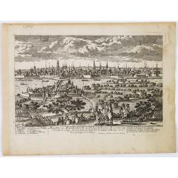
A very decorative and very rare town-view of Amsterdam, including a numbered key ( A- T) in the lower part. Engraved by Pierre-Alexandre Aveline. With the signature "...
Place & Date: Paris, ca.1692
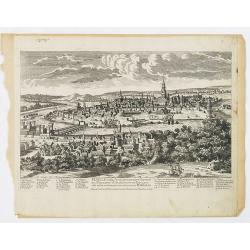
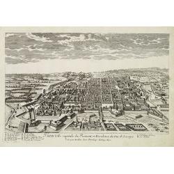
Turin ville capitale du Piémont, et Résidence du Duc de Savoye. . .
A very decorative and rareof Turin, including a numbered key (A-M) in lower part. Engraved by Pierre-Alexandre Aveline. With "fait par Aveline avec privilege du Roy ...
Place & Date: Paris, ca.1692
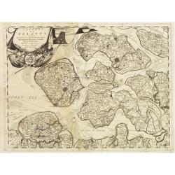
Contado di Zelanda..
A most attractive and decorative map by Vincenzo Coronelli. An elaborate title cartouche garlanded with intertwined flowers and dedicated to Vincenzo Caualli. The remarka...
Place & Date: Venice 1692
[Arabia]
A lovely miniature map of the region of Armenia and Georgia, showing both parts of the Black Sea and Caspian Sea. For such a small map it renders a wealth of detail, with...
Place & Date: Ulm, 1692
Seville ville Archiepiscopale et capitale du Royaume d'Andalousie en Espagne. . .
A very decorative and extremely rare town-view of Seville, including a numbered key ( 1- 37) in lower part. Engraved by Pierre-Alexandre Aveline. With "fait par Avel...
Place & Date: Paris, ca.1692
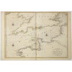
Carte de la Manche. . .
Decorative chart showing the Chanel, with the coastline of France from La Baie de Douarnenez to Dunkerque, and the coastline of England from Stroble head to Manning Tree....
Place & Date: Amsterdam, 1692
Gouvernement general de Champagne. . .
Fine map of Champagne with a decorative title and scale cartouche.Alexis-Hubert Jaillot (1632-1712), was a French cartographer. He joined the Sanson heirs and redrew Nico...
Place & Date: Amsterdam, 1692
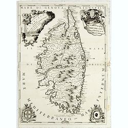
Isola di Corsica, Dedicata all' Em;mo e Rmo: Principe, il Sr. Cardinale Carpegna, Vicario di Sua Santita. . .
One of the most decorative maps of Corsica, with in the upper right, a draped fabric that bears the map's scales is dressed with two angels, one holding the cross, a coat...
Place & Date: Venise, 1692
Mastric ou Maëstricht, Ville du Brabant-Hollandois. . .
A very decorative and extremely rareof Maastricht, including a numbered key (1-23) in lower part. Engraved by Pierre-Alexandre Aveline. With "Fait par Aveline avec p...
Place & Date: Paris, ca.1692
Oost-Frise, ou Le Comté d'Embden . . .
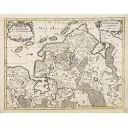
Fine map of East Friesland with a decorative cartouche and small scale of miles.Alexis-Hubert Jaillot (1632-1712), was a French cartographer. He joined the Sanson heirs a...
Place & Date: Amsterdam, 1692
St Tropez.
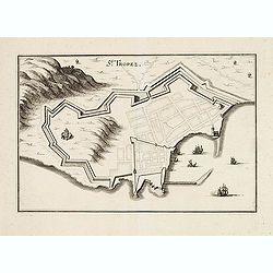
Early plan of St.Tropez. From his "Introduction à la fortification".
Place & Date: Paris, 1693
La Basilica Vaticana consacrata al Principe de gli Apostoli . . .
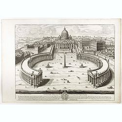
Monumental engraving showing the Papal Basilica of St. Peter in the Vatican, in its setting, with below a coat of arms with dedication to Cardinal Sigismondo Chigi. Obili...
Place & Date: Rome, 1693
Het gezandtschap der Neerlandtsche Oost-Indische Compagnie, aan den grooten Tartarischen Cham, Den tegenwoordigen Keizer van China. . .
Third edition of this beautifully illustrated work on China. The first edition was published in 1665.Jan Nieuhof was a "Dutch traveler and adventurer" (1618-72)...
Place & Date: Amsterdam, W. Waasberge, 1693
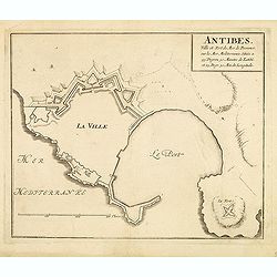
ANTIBES, Ville et Port de Mer de Provence, sur la Mer Mediterranée.
Early plan of Antibes. From his "Introduction à la fortification".
Place & Date: Paris, 1693
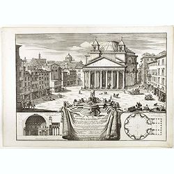
Piazza e tempio di Santa Maria della Rotonda gia l'Antico Pantheon.
Monumental engraving showing the Pantheon in Rome, in its setting, with below a ground-plan and elevation. Fountain in front, adjacent buildings and carriages and people ...
Place & Date: Rome, 1693
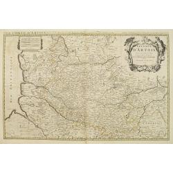
Le comte d'Artois dresse sur les memoires les plus nouveaux. . .
Map showing the north of France, showing St Omer, and Arras, etc. The map notes Nicolas Sanson as the mapmaker and claims that the map was published by Alexis-Hubert Jail...
Place & Date: Amsterdam, 1693
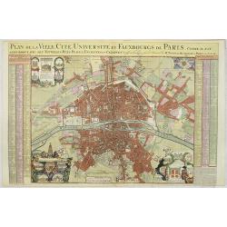
Plan de la ville, cite universite et fauxbourgs de Paris comme il est jourddhuy. . .
Detailed town-plan of Paris.Top left and bottom right and left cartouches decorated with views of the top left, Notre Dame, Palace of Orleans, Sorbonne and Val de Grâce,...
Place & Date: Paris, 1694
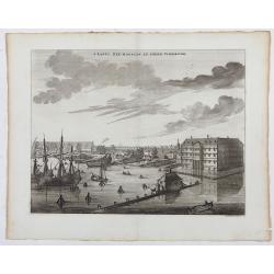
s'Lants Zee-Magazyn en Scheeps Timmer-werf.
Decorative view of the back yard of the formerly the V.O.C. warehouse and arsenal for the Admiralty of Amsterdam, now-a-days the Scheepvaartmuseum (Maritime Museum).The p...
Place & Date: Amsterdam, 1694
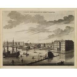
s'Lants Zee-Magazyn en Scheeps Timmer-werf.
Decorative view of the back yard formerly the V.O.C. warehouse and arsenal for the Admiralty of Amsterdam, now-a-days the Scheepvaartmuseum (Maritime Museum).The print is...
Place & Date: Amsterdam, 1694
-250x250.jpg)
![[2 maps] Nieuwe Hemels Spiegel waer door den hemel, aerde en zee dadelik kan afgemeten werden. Noyt gesien en dat op alles Polus ...](/uploads/cache/49046-(1)-250x250.jpg)
![Amerique Septentrionale divisée en ses principales parties. . .1685. [California as an Island]](/uploads/cache/60628-250x250.jpg)
-250x250.jpg)

![[Title page] Le Nouveau & Grand Illuminant Flambeau de la Mer. La troisième partie. …Par Nicolas Jans Vooght.](/uploads/cache/47950-250x250.jpg)
![Loandas St.Paulo [Luanda]](/uploads/cache/48500-250x250.jpg)
![Amerique Septentrionale divisée en ses principales parties. . .1692. [California as an Island]](/uploads/cache/27961-250x250.jpg)
![[Arabia]](/uploads/cache/40143-250x250.jpg)
